Geospatial Interface
Connectivity
SQL
ODBC
Esri Type Server
- The aiWorks system allows for simple connection of your data into applications regardless of the database system.
Customization Automation and Control
Stages of Control
- Object
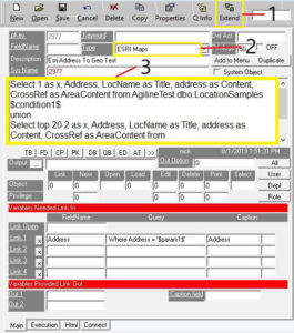
- aiWorks Esri Map
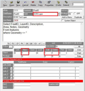
- aiWorks Internal Esri Layer
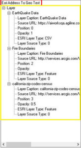
- Layers
- Query Layers
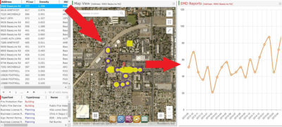
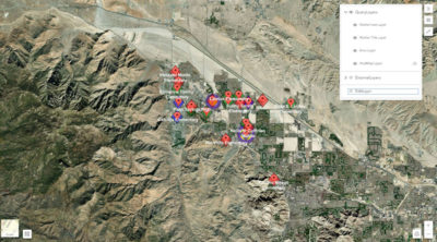
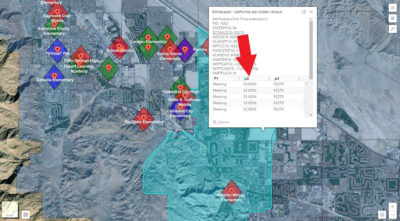
- Connect to multiple DBs and query data points to add to map
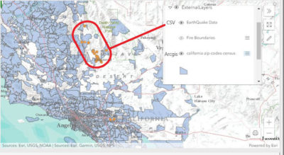
- Property Layers (Internal/External sources)
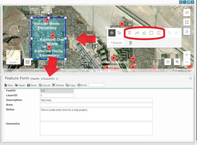
- Features
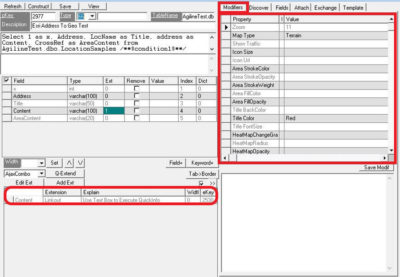
- SQL Layers (Markers, Areas, Heat Maps)
- Object
User Interface (aiWorks Dashboards)
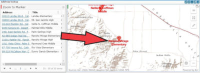
Create Geocode Projects
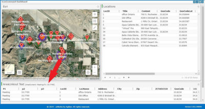
- Mix Esri maps with charting, forms
- Control their intercommunication
Publish internal or external using widgets or dashboards
On click print to PDF


